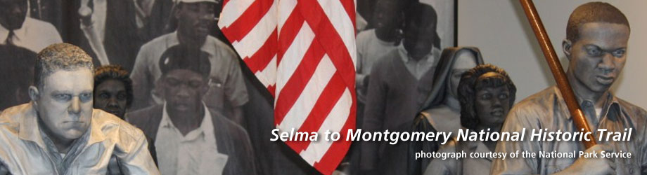
Selma to Montgomery National Historic Trail
Established: November 12, 1996
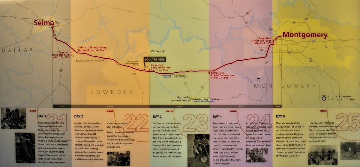
Map of the Selma to Montgomery NHT courtesy NPS.
The Selma to Montgomery National Historic Trail t
races the 54-mile route of the 1965 Voting Rights March led by Dr. Martin Luther King, Jr. in Central Alabama. Notable historic sites include Brown Chapel AME Church, the Edmund Pettus Bridge (the site of the “Bloody Sunday” confrontation between protestors and law enforcement), and the Alabama State Capitol Building.Western Terminus: Selma, Alabama
Eastern Terminus: Montgomery, Alabama