![]()
Established: March 30, 2009
Managing Nonprofit: Arizona Trail Association
Managing Agency: USDA Forest Service

Map of the Arizona NST courtesy USDA Forest Service.
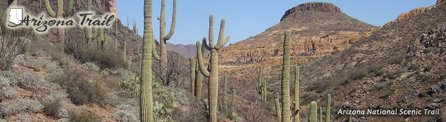
The Arizona National Scenic Trail follows a roughly 800-mile course from the US/Mexico border to the Utah state line north of the Grand Canyon. The Trail crosses through several life zones and ecosystems, including low desert, scrubland, canyons, and even pine and aspen forests as it traverses the entire state that gives the Trail its name from north to south.
Northern Terminus: Arizona / Utah Border
Southern Terminus: US/Mexico Border