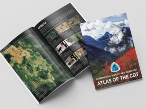
The Continental Divide Trail Coalition recently announced the completion of the Atlas of the CDT, a collection of thematic maps, infographics, and writing that explores the history and context of the trail corridor and its regional setting. The Atlas examines the Continental Divide National Scenic Trail in full monumental scale as a path that connects not only travelers but ecosystems and regional communities in a continuous landscape corridor along the backbone of the continent. This resource advances consideration of the trail beyond a narrow path to critical landscape conservation through detailed and fascinating maps.
continentaldividetrail.org/atlas-of-the-cdt/
Unless otherwise indicated, all material in Pathways Across America is public domain. All views expressed herein are perspectives of individuals working on behalf of the National Trails System and do not necessarily represent the viewpoint of the Federal agencies.