By Carin Farley, National Scenic and Historic Trails Lead, Bureau of Land Management
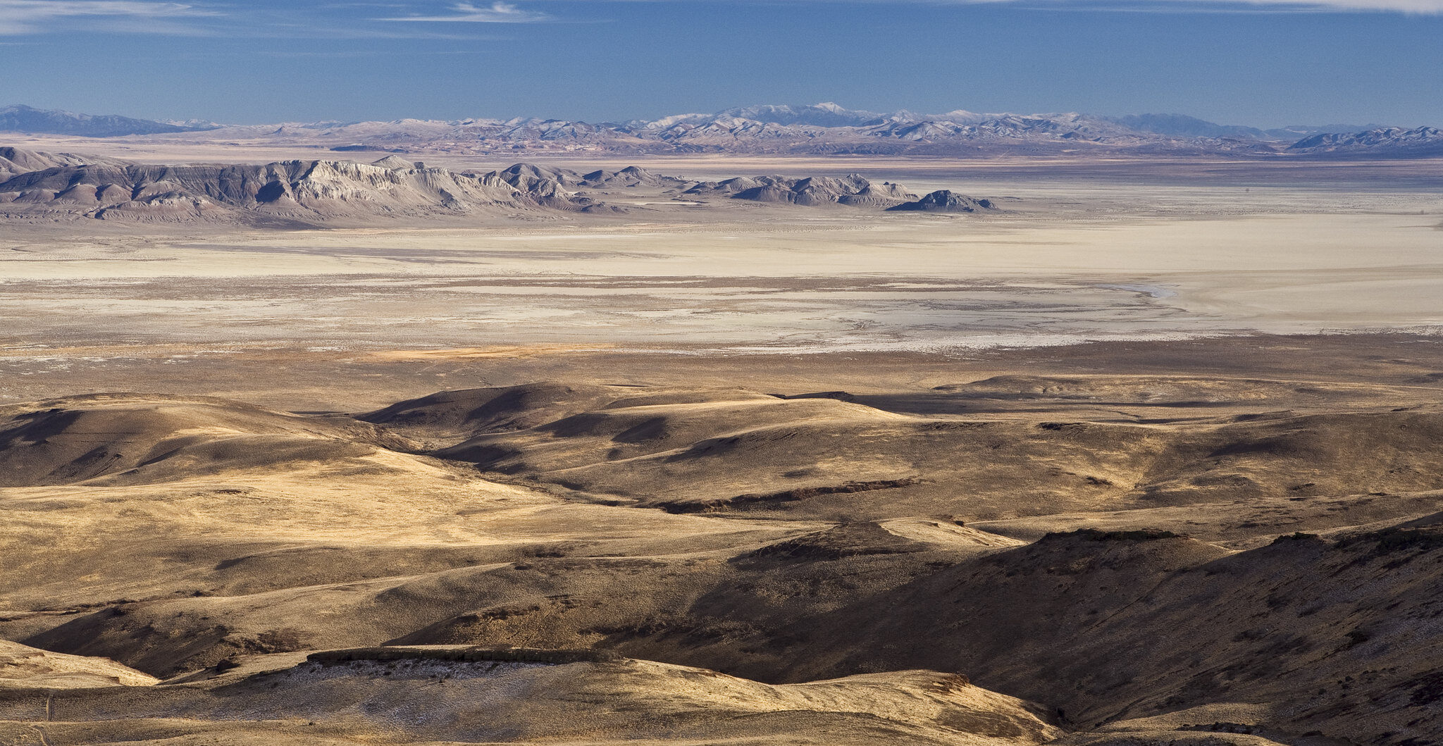
California National Historic Trail in Nevada. Photo by Bob Wick, BLM.
The relationship with place strengthens our understanding of historic events and patterns in North American history. National Scenic and Historic Trails (NSHT) are places of cultural and natural significance, where the landscapes are bound to everything that was and still is. Currently the Bureau of Land Management (BLM) NSHT inventories are separated out by the scenic, natural, cultural/historic, and recreational resources or landscape elements. Once these elements are inventoried and thought of holistically, as part of the larger landscape, they come alive! Through our inventory methods, the BLM is focusing efforts on integrating this holistic way of understanding into our work and training.
The BLM manages approximately 6,000 miles of congressionally designated National Scenic and Historic Trails in over 100 field offices in 15 states through policy Manuals 6250 and 6280 that were created in 2012. In 2019, BLM developed an Inventory, Assessment and Monitoring (IAM) methodology to build a baseline for NSHTs and establish a consistent agency process for recording and analyzing resources along trails that can create defendable NSHT corridors for protection.
In the summer of 2021, BLM Headquarters sought to acquire services from qualified Technical Assistance Contractors to increase program capacity, implement policy, and the IAM Methodology.
Logan Simpson was awarded the contract for their in depth understanding of data collection, analysis, and familiarity with National Scenic and Historic Trails. All BLM State Offices, District Offices, and Field Offices have access to this contract to acquire NSHT IAM services. To date, Alaska, Nevada, New Mexico, and Utah have all worked on aspects of this methodology under task orders. At the Headquarters level, a NSHT Training Strategy was developed in the spring of 2022 in coordination with partners, and the first virtual interdisciplinary IAM Workshop was completed in August 2022.
IAM is a necessary component of the BLM’s NSHT program to identify, locate, and appropriately manage the resources, qualities, values, associated settings, and primary trail uses that collectively define the nature and purposes of each unique NSHT. Monitoring the inventory supports the BLM’s understanding of resource conditions, the effects of decisions made, and the potential impact of emerging issues. Analysis and trend reports can be used to support relevant regional and national initiatives. Therefore, it is critical that every part of the inventory clearly, consistently, and accurately represents the entire landscape, the resources and values present, and their condition. IAM can foster easier program and agency coordination with improved data exchange for these cross-jurisdictional national assets.
Broad implementation of IAM methods will require substantial commitment and investment. With potential funding from the Inflation Reduction Act (IRA) the program hopes to contribute to climate resiliency through strategic inventory that results in conservation and protection actions. For example, proper inventory will result in informed management plans that can increase habitat connectivity in corridors and/or protect sacred landscapes. In a response to agency IRA proposals, Director Stone Manning stated that, “The BLM intends to more formally and firmly rest resource use decisions on data-driven knowledge of resource conditions.” This work can be accomplished in coordination and support of the BLM’s Civilian Climate Corps Implementation Plan and assist in establishing an Indian Youth Service Corps. The BLM will look to these programs, tribes, and other partnerships wherever possible to be a part of these inventories and foster the next generation of public land professionals.
With proactive inventory of the values for which these trails were established and a deeper understanding of the holistic landscape, the agency can protect them from impacts. The National Trail System connects people to the land, its natural and scenic wonders, and the Nation’s diverse heritage. Together with other federal agencies, partner organizations and indigenous communities there are huge opportunities for landscape level connectivity and conservation. By leveraging shared boundaries, shared management authorities, and inventory baselines across jurisdictions we can as a nation assess the health and wellbeing of the system as a whole.