![]()
Established: March 28, 1983
Managing Nonprofit: Natchez Trace Parkway Association
Managing Agency: National Park Service
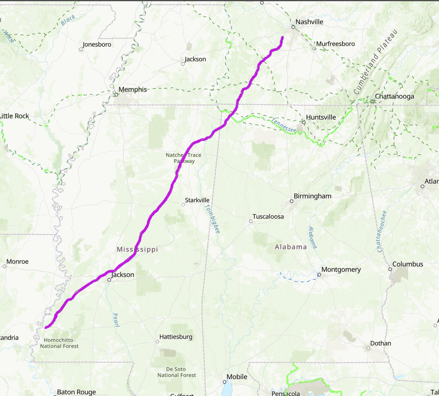
Map of the Natchez Trace Parkway is a modified screenshot from the PNTS Interactive National Trails System Map.
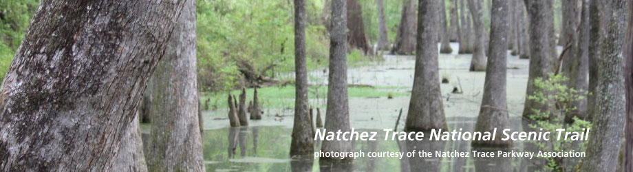
A long-used footpath that likely began as a series of game trails made by animals, the roughly 500-mile long Natchez Trace was eventually adopted by Native populations and, later, by European explorers. The Natchez Trace National Scenic Trail (NTNST) follows these original routes through hardwood forests, swamps, wetlands, rock outcroppings, and more.
Southwestern Terminus: Natchez, Mississippi
Northwestern Terminus: Southwest of Nashville, Tennessee
The Natchez Trace National Scenic Trail includes a series of 5 hiking sections totaling about 65 miles which run parallel to the 444-mile-long Natchez Trace Parkway. The NTNST touches three states: Mississippi, Alabama, and Tennessee.