by Deb Salt, Trails Program Lead, Bureau of Land Management, and Christopher Douwes, Community Planner, Federal Highway Administration
In 2018, the Bureau of Land Management (BLM) and the Federal Highway Administration (FHWA) agreed to cost-share a contract to develop a standardized, resource integrated national scenic and historic trails (NSHT) inventory, assessment, and monitoring program (IAM).
Mutual objectives for the NSHT IAM program development included making advancements in trail corridor protection, data collection, system resiliency and sustainability, project delivery, multimodal transportation connectivity, wayfinding and awareness, and technological challenges and opportunities.
Based on BLM policies, the project would offer a more systematic way to capture scenic, historic, cultural, and natural and recreation resources, qualities, values, and settings called for by the National Trails System Act. The deliverables will include a methodology, field guide, and training that will be publicly available in 2020. The concepts developed will be readily transferable to any Federal or State agency and for any kind of trail.

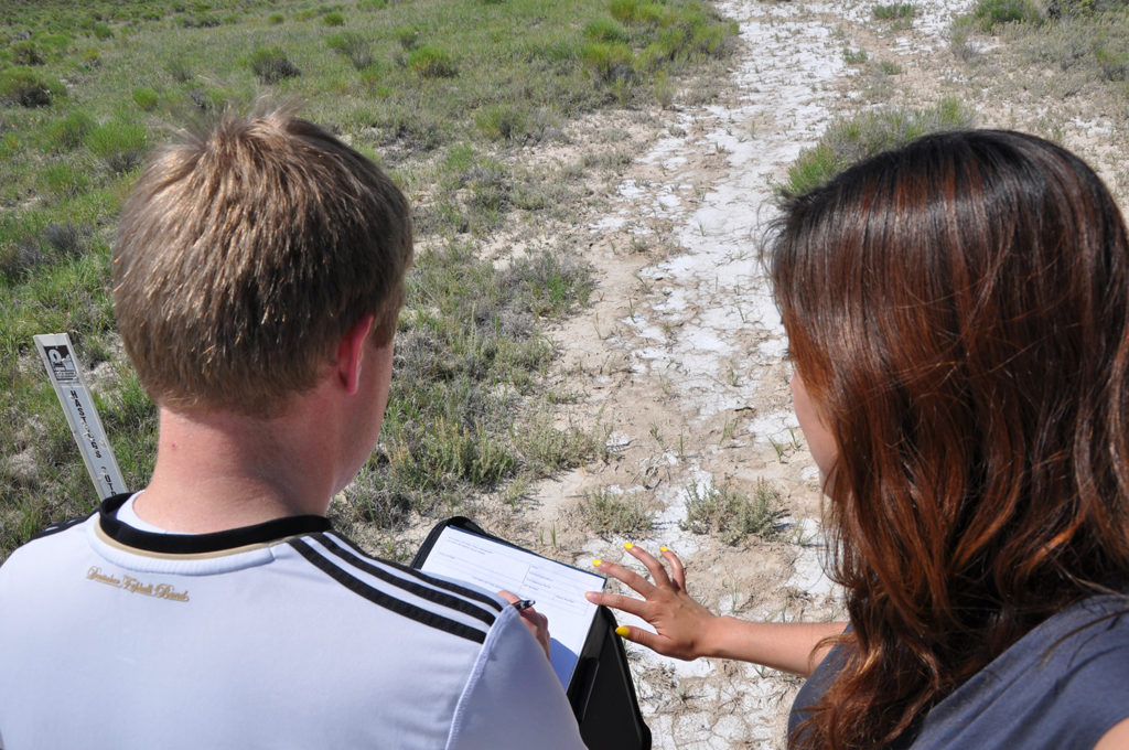
BLM Richfield Field Office staff and a student from Weber State University, conduct an inventory on the California National Historic Trail in Skull Valley, UT. (Photo Credit: BLM)
The reasons for the joint effort are that systematic collection, analysis, management, and availability of national trail data is paramount to meeting National Trails System Act purposes and public expectations, including maintaining high quality recreational experiences, protecting natural and cultural resources, and supporting public safety. Demand is growing within the BLM, other Federal agencies, the State agencies that administer the Recreational Trails Program (RTP), and State transportation agencies to collect and maintain accurate, validated, and authenticated national trails data, and to share that data with other Federal agencies, Tribes, States, nonprofit organizations, and private interests. Demand also is growing for various trail-related public and agency innovative products, such as interactive maps, mobile applications, and electronic location services, all of which need accurate and authoritative data. Proposals for energy development, infrastructure, roads, and pipelines which have the potential to adversely impact national trail values must be reviewed and assessed against accurate data.
To that end, the purpose of the agreement was to contribute an inventory and monitoring program that Federal, Tribal, State, and local governments and private sector entities could use to better understand trail resources, protect trail corridors, and support quality trail experiences. With comprehensive policies already in place for inventory, assessment, and monitoring, the project would support a more systematic approach to BLM management of NSHTs on public lands, while serving as a model to help other agencies responsible for trail or highway programs to inventory and monitor these assets. The agencies also agreed that shared resources would support more effective program management, project delivery, and build capacity to better administer, manage, and sustain all kinds of trails.
Together, the BLM and FHWA, and all who assisted in this landmark effort, look forward to offering a way to better understand and protect these trails for future generations to enjoy through a standardized, resource integrated inventory, assessment, and monitoring program.
Unless otherwise indicated, all material in Pathways Across America is public domain. All views expressed herein are perspectives of individuals working on behalf of the National Trails System and do not necessarily represent the viewpoint of the Federal agencies.