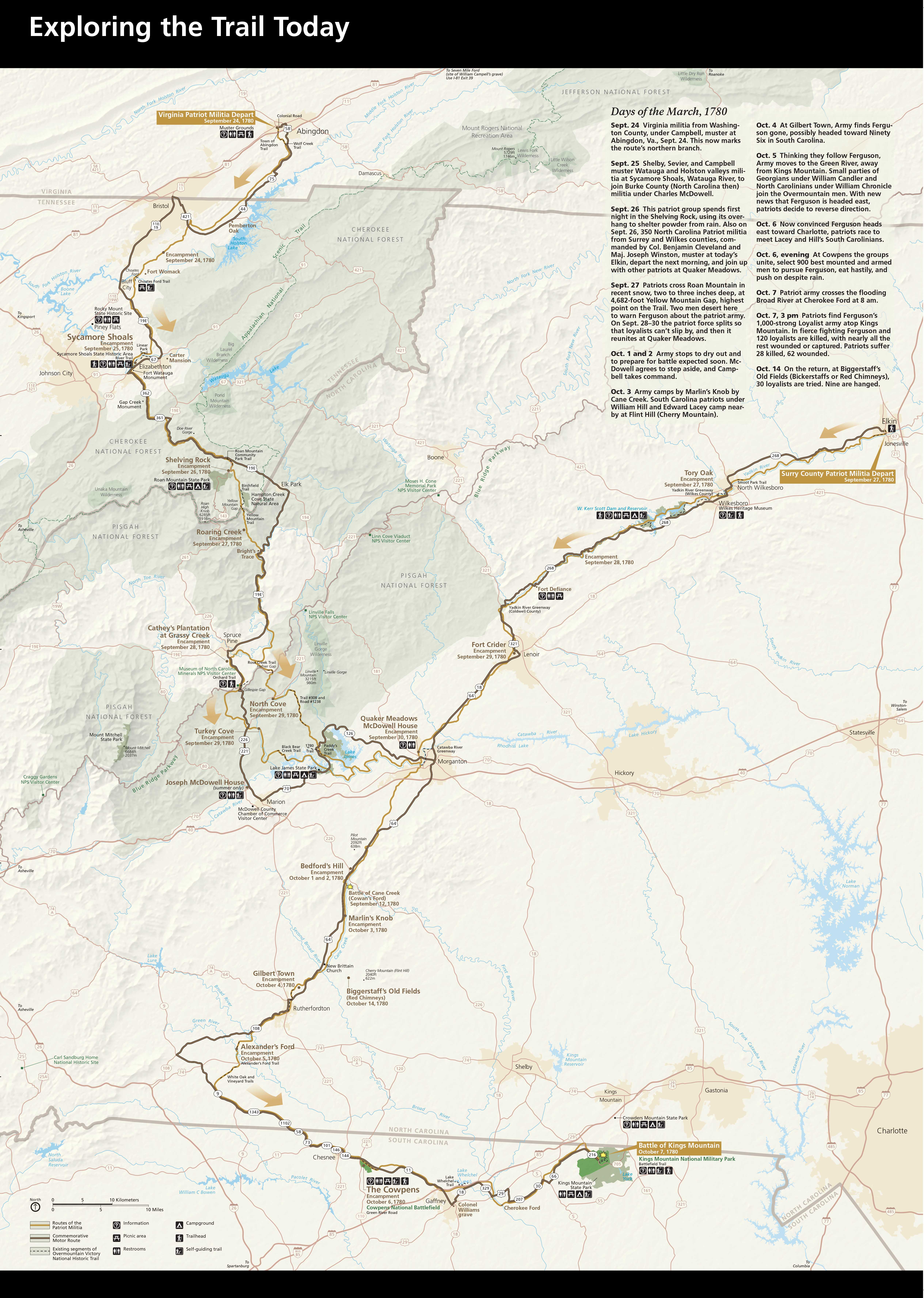
Map of the OVNHT courtesy NPS.
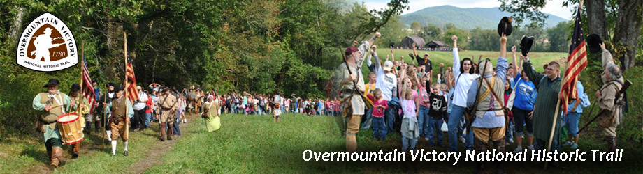
The Overmountain Victory National Historic Trail traces the route used by the patriot militia during the pivotal Kings Mountain campaign of 1780, which led to a turn in the tide in favor of American forces during the American Revolutionary War.
Northern Terminus: Colonial Road in Abington, Virginia
Eastern Terminus: Elkin, North Carolina
Southern Terminus: Kings Mountain Nation Military Park / Kings Mountain State Park in northern South Carolina.
The Overmountain Victory Trail includes two northern branches that pass through Virginia, Tennessee, and North Carolina, as well as a southern branch that begins in the northern reaches of South Carolina and heads northward into North Carolina. The trail includes marked highway as well as 87 miles of walkable pathways.