
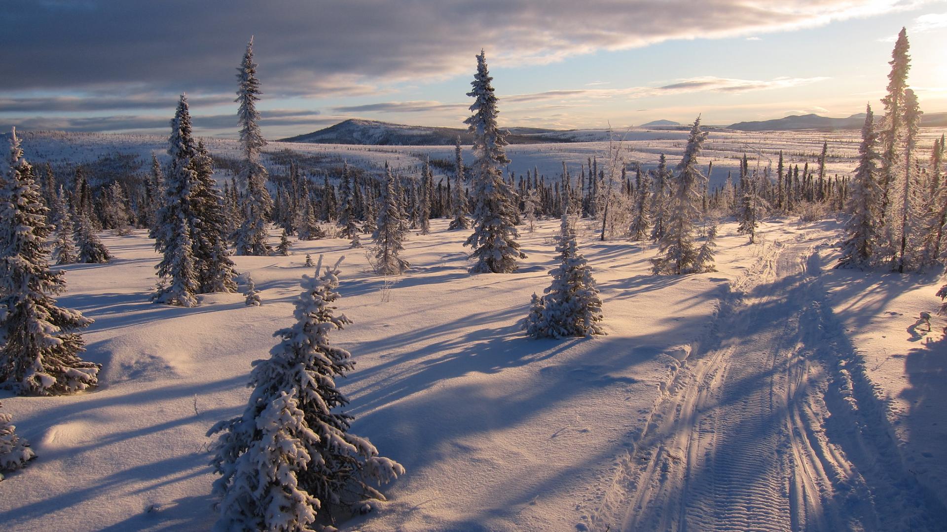
Iditarod National Historic Trail

Established
November 10, 1978
Nonprofit Partner
Iditarod Historic Trail Alliance (IHTA)
Administering Agency
Bureau of Land Management
About The Trail
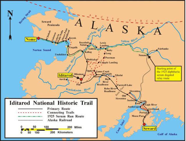
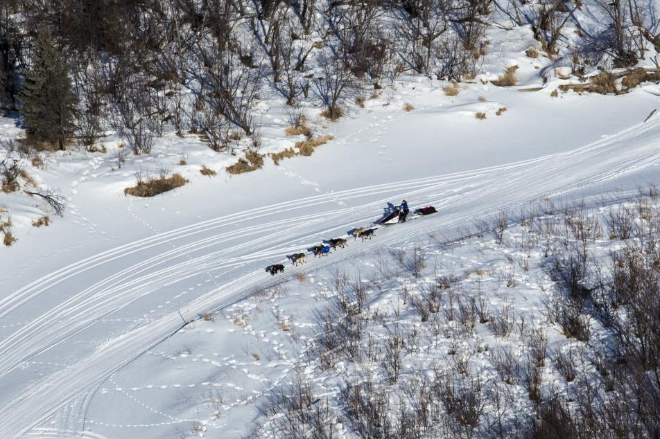
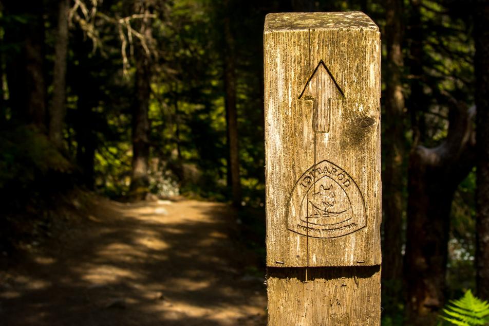
The Iditarod National Historic Trail system includes 2,400 miles of trail linking communities and historic sites in Alaska. The INHT was an artery of Alaska's winter commerce during the last American gold rush. From 1911 to 1925, hundreds of people walked and mushed the trail delivering goods, gold, and mail to trading sites and outposts throughout Alaska, many of which are ghost towns today. Today, the trail is used for snow sports and inter-village travel in winter, and in summer for hiking and biking.
Northwestern Terminus: Nome, Alaska
Southeastern Terminus: Seward, Alaska