

Native Lands, National Trails (NLNT) is an Indigenous mapping and research project of the Partnership for the National Trails System (PNTS). In collaboration with the Bureau of Land Management, Native Land Digital and Ancestral Lands Conservation Corps, PNTS is pleased to present a suite of resources designed to inform the public and help National Trails and their nonprofit organization partners to advance the National Trails System’s knowledge of Indigenous ancestral Lands through partnership and collaboration with Indigenous communities along National Scenic and Historic Trails.
The current Administration’s priorities for public lands include strengthening tribal relationships through;
- understanding Indigenous Knowledge,
- growing and maintaining the mutually beneficial relationships with Tribal Nations and Indigenous Peoples needed to appropriately include Indigenous Knowledge,
- and considering, including, and applying Indigenous Knowledge in Federal research, policies, and decision making.*
Indigenous nations, communities, and organizations are being invited into the conversation to help steward, provide Indigenous ways of knowing, and share the histories and stories that have been excluded previously on public lands. The Nation-to-Nation relationship between the United States and Tribal Nations is governed by law and differs from the public engagement and collaboration with Indigenous communities that is offered here. This project is collaborative and does not aim to define Indigenous communities, but instead provides a mapping and resource platform that includes all Alaska Native, Native Hawaiian, recognized, and non-recognized tribes. This work is not political but serves as a cultural awareness tool that shows the intersection and relationship between Indigenous lands and the National Trail System “in a manner that respects Tribal sovereignty and achieves mutually beneficial outcomes for Tribal and Indigenous communities.”*
*From the “Guidance for Federal Departments and Agencies on Indigenous Knowledge” November 30th 2022
Native Lands, National Trails Map
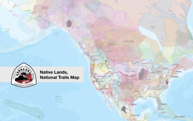
The Native Lands, National Trails Map is an interactive GIS map hosted through ESRI that serves as an educational tool and resource for understanding and navigating Ancestral Indigenous territories throughout the National Trails System (NTS). The NTS consists of 30 congressionally designated trails that traverse what is now the United States of America.
Many of these trails were used previously by Indigenous cultures that continue to have ancestral ties to the current landscapes. The intent of this map is to provide a broad perspective of just how many communities the NTS crosses and to start crucial conversations about the impacts and engagement of their stories.
Native Lands, National Trails Resource Guide

This resource guide is to be utilized as an educational tool and hub for resources that trail organizations, Indigenous communities, organizations, and nations have created and used.
The goal of NLNT is to assist federal agencies and non-profit trail organizations in advancing National Trails System knowledge of Indigenous ancestral lands and increase partnerships and collaborations with Indigenous communities along National Scenic and National Historic Trails.
Indigenous Engagement & Tribal Consultation Webinar Series
We encourage you to watch the following videos as part of your engagement with the Native Lands, National Trails (NLNT) map and resource guide. These recorded webinars provide foundational information about engagement with Indigenous communities on trails while showcasing the features of NLNT.
During this presentation, you will learn about how to use the map and utilize resources to understand where Indigenous communities and ancestral lands are located and who you may need to engage when beginning projects on your trails or public lands. This webinar was originally titled, “Engagement & Education with the Indigenous Mapping & Research Project.”
In this training, you will hear about the history of Tribal – U.S. Government relations, Federal Indian Law, recent trends in federal Indian Affairs, and Tribal perspectives regarding protection and access to Sacred Places. You’ll walk away with an understanding of the main components of Federal Indian Law, how your work relates to it, and what your responsibilities are in Tribal engagement.
Watch the Webinar
In this training, you will hear from Susan Johnson (Tribal Project Coordinator, U.S. Forest Service) and Eric Chiasson (Regional Tribal Liaison, Tribal and Cultural Affairs-Region 1, National Park Service) about the history of Tribal consultation, the basics of the process, the cultural injustice inherent in the process, and what it could look like in the future.
Learn about the differences between Tribal consultation, coordination, and engagement, and the responsibilities of different entities to engage in each practice. Hear about successes, failures, and best practices for engaging Indigenous communities from an Indigenous perspective.
Project Acknowledgment
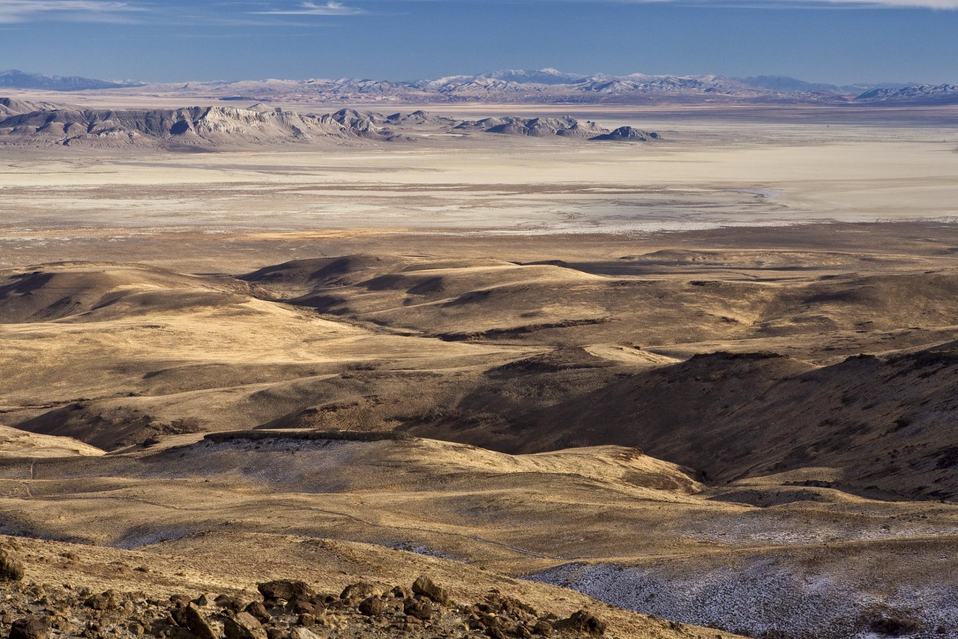
Trails are Indigenous.
Trails flow and live through the territories and are guides for many histories, people, animals, and entities living and nonliving.
We acknowledge that this project aims to strengthen relations between National Trails and Indigenous communities throughout Indigenous Territories and what is now considered the United States.
More on the Native Lands, National Trails Project
“BLM National Scenic and Historic Trails Mapping Project Showcases Indigenous Connections to the Land” – Bureau of Land Management
“Native Lands, National Trails: An Indigenous Mapping and Research Project” – Partnership for the National Trails System
“Artist Selected to Design the Indigenous Mapping and Research Project Logo” – Partnership for the National Trails System
“Press Release: Indigenous Mapping and Research Project to Focus on National Trails” – Partnership for the National Trails System
Project Partners
The Native Lands, National Trails project was possible through partnerships and support from several organizations and governmental agencies: Partnership for the National Trails System, Native Lands Digital, Bureau of Land Management, and Ancestral Lands Conservation Corps.
