

Lewis and Clark National Historic Trail
Established
November 10, 1978
Nonprofit Partners
Lewis and Clark Trail Alliance (LCTA), Lewis and Clark Trust
Administering Agency
National Park Service

About The Trail

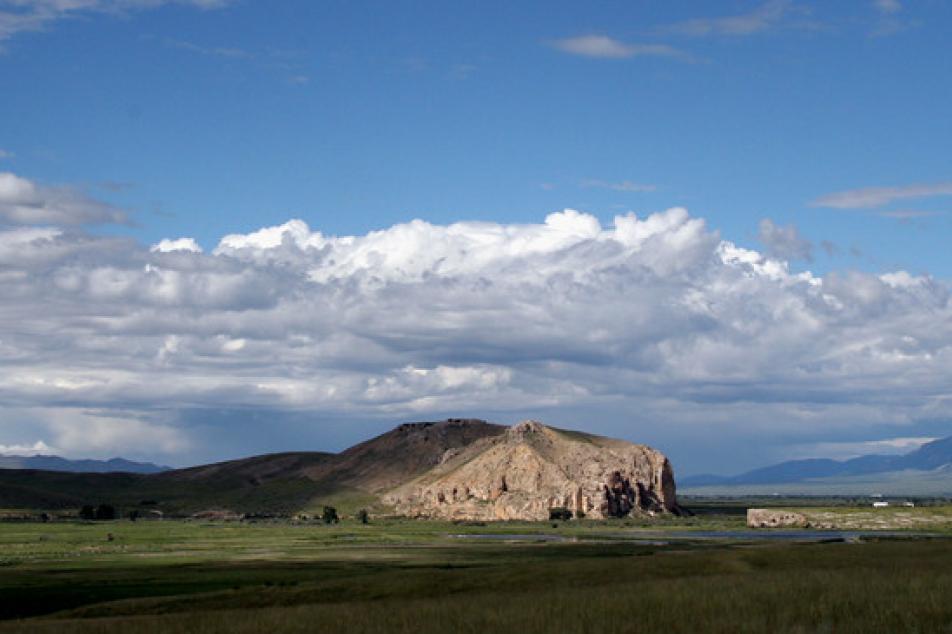
The Lewis and Clark National Historic Trail follows the historic routes traveled by the Corps of Discovery between 1803 and 1806 as they sought to find a water route to the Pacific Ocean. Points of interest include Gateway Arch National Park, Beaverhead Rock, and the Columbia River Gorge National Scenic Area.
Eastern Terminus: Pittsburgh, Pennsylvania
Western Terminus: The Pacific Ocean near present day Astoria, Oregon
The Lewis and Clark National Historic Trail covers 4,900 miles and crosses 16 states, including Iowa, Idaho, Illinois, Indiana, Kansas, Kentucky, Missouri, Montana, Nebraska, North Dakota, Ohio, Oregon, Pennsylvania, South Dakota, Washington, and West Virginia.