
Santa Fe National Historic Trail
Established
May 08, 1987
Nonprofit Partner
Santa Fe Trail Association (SFTA)
Administering Agency
National Park Service
About the Trail
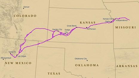
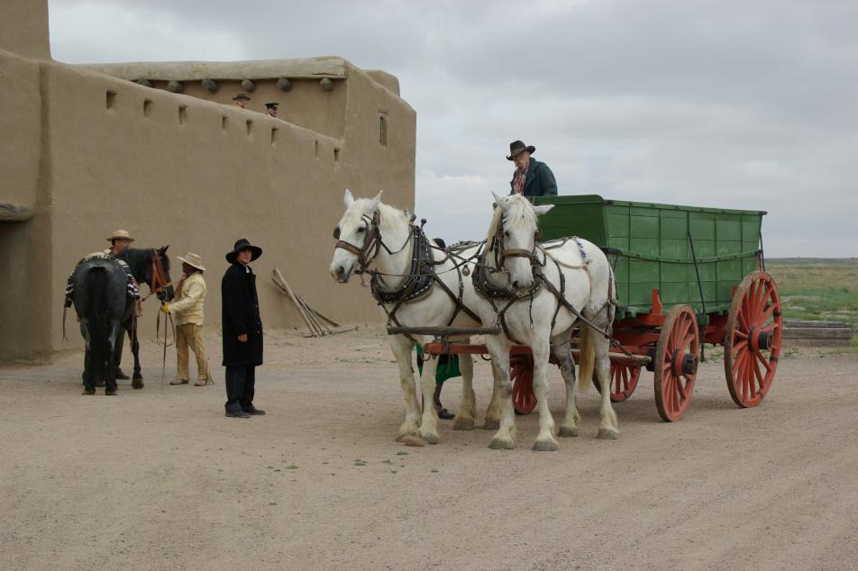
In 1821, the Santa Fe Trail became one of America’s great international commercial highways, and for nearly sixty years thereafter was a route of adventure and western expansion. The trail runs through the ancestral home lands of the Shawnee, Kansa, Osage, Pawnee, Cheyenne and Arapaho, Comanche and Kiowa, as well as the Apache tribes of Mescalero and Jicarilla, the Mouache Ute, and into the lands of the Pueblo Peoples of New Mexico. Points of interest include the National Frontier Trails Museum, Mahaffie Stagecoach Stop & Farm Historic Site, and Bent’s Old Fort Historic Site. Discover additional points of interest along the Santa Fe Trail here.
Eastern Terminus: Central Missouri east of Independence
Western Terminus: Santa Fe, New Mexico
The Santa Fe National Historic Trail runs from central Missouri and westward through Kansas before forking into Colorado and Oklahoma and, finally, ending in Santa Fe, New Mexico.