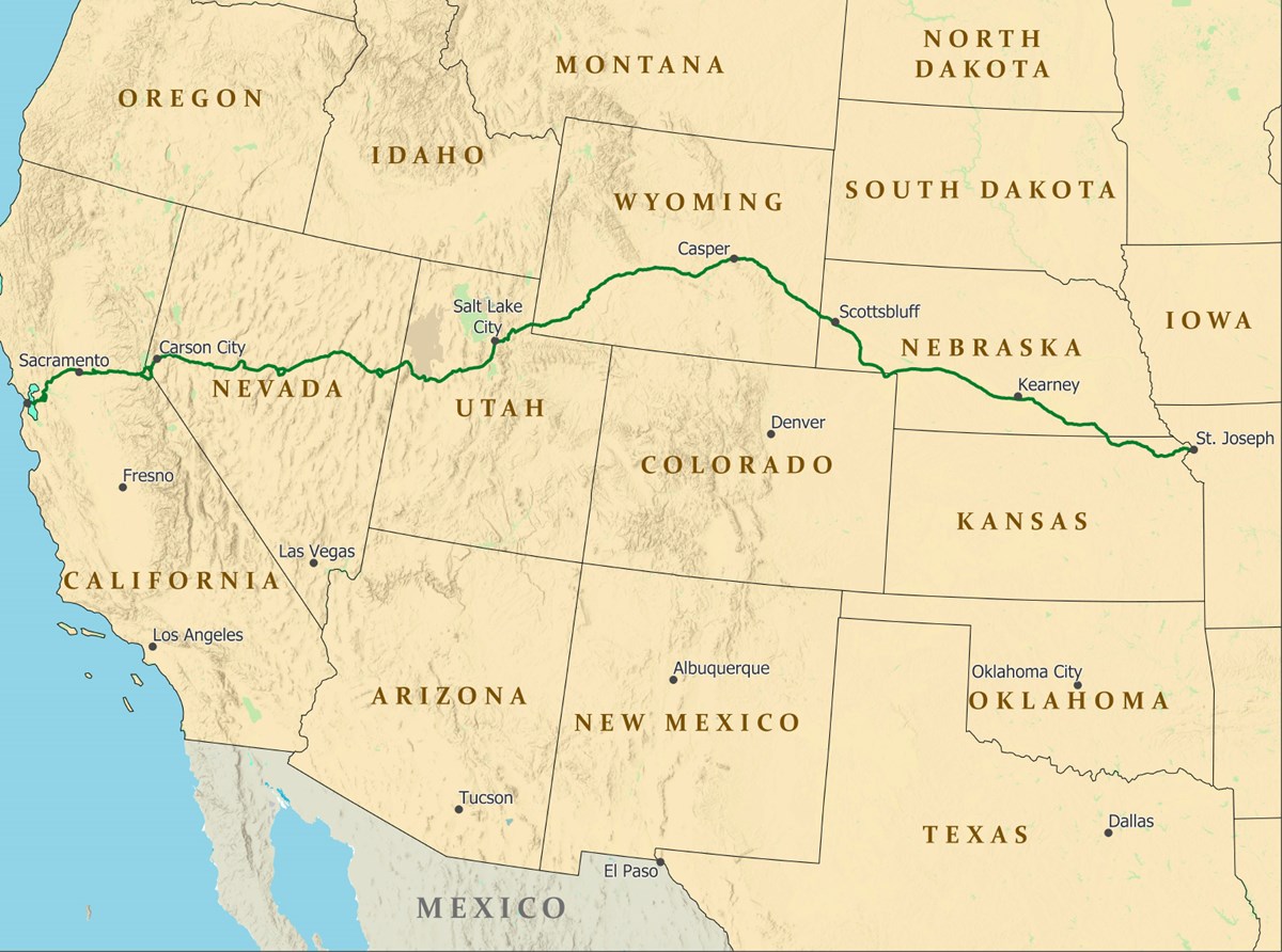
Map of the pony Express NHT courtesy of NPS.
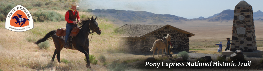
Founded in April 1860, the legendary Pony Express ran for only 18 months before it was rendered irrelevant by the installation of a transcontinental telegraph. Today, the Pony Express National Historic Trail marks the nearly 2000-mile route taken by Pony Express Riders during cross-country mail deliveries during the service’s tenure. Notable sites along this trail include Historic Trails Park (Marshall’s Ferry), Chimney Rock National Historic Site, and the B.F. Hastings Building in Sacramento, California. Discover more points of interest along the Pony Express Trail here.
Western Terminus: the B.F. Hastings Building in Sacramento, California
Eastern Terminus: Pony Express National Museum in St. Joseph, Missouri
The Pony Express Trail runs westward from St. Joseph, Missouri, through Kansas, Nebraska, Colorado, Wyoming, Utah, and Nevada before ending in Sacramento, California. Incredibly, the entire trip took only about ten days for riders to complete.